This page is about Lake Atitlán itself: how it formed, who lives around it, and what lives in it. The other pages in this section cover its problems and what people are doing about them.
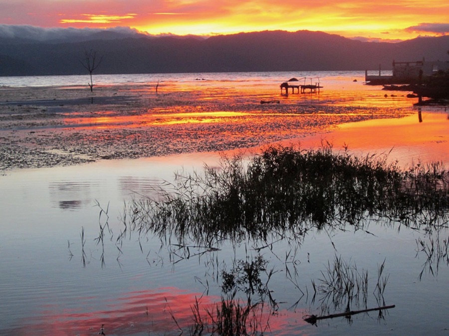
A lake in a volcano’s crater
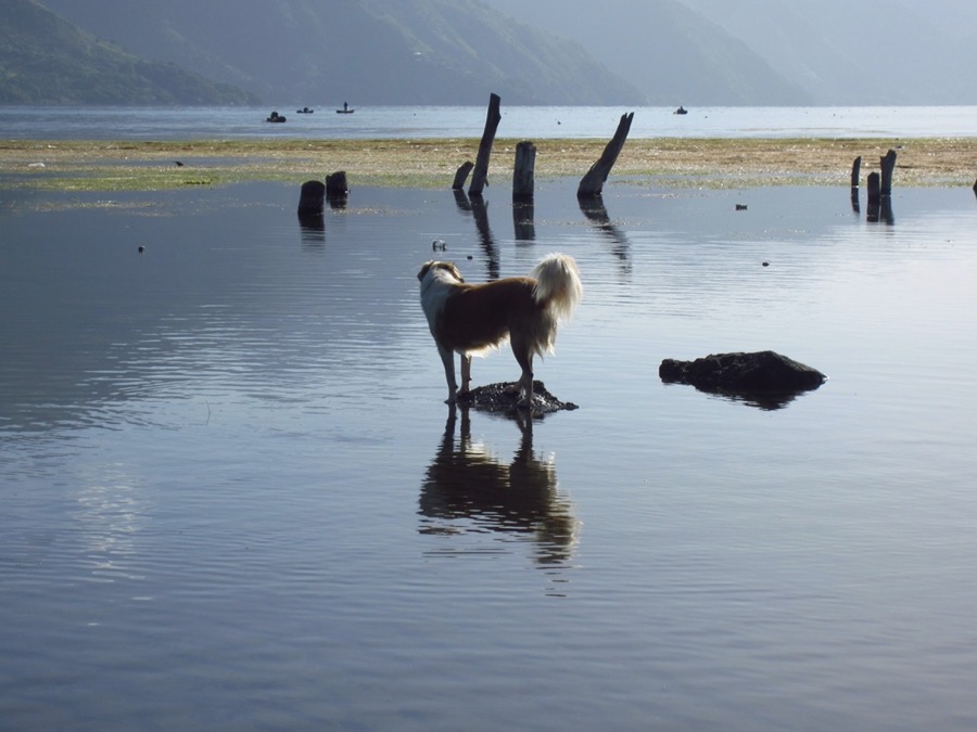
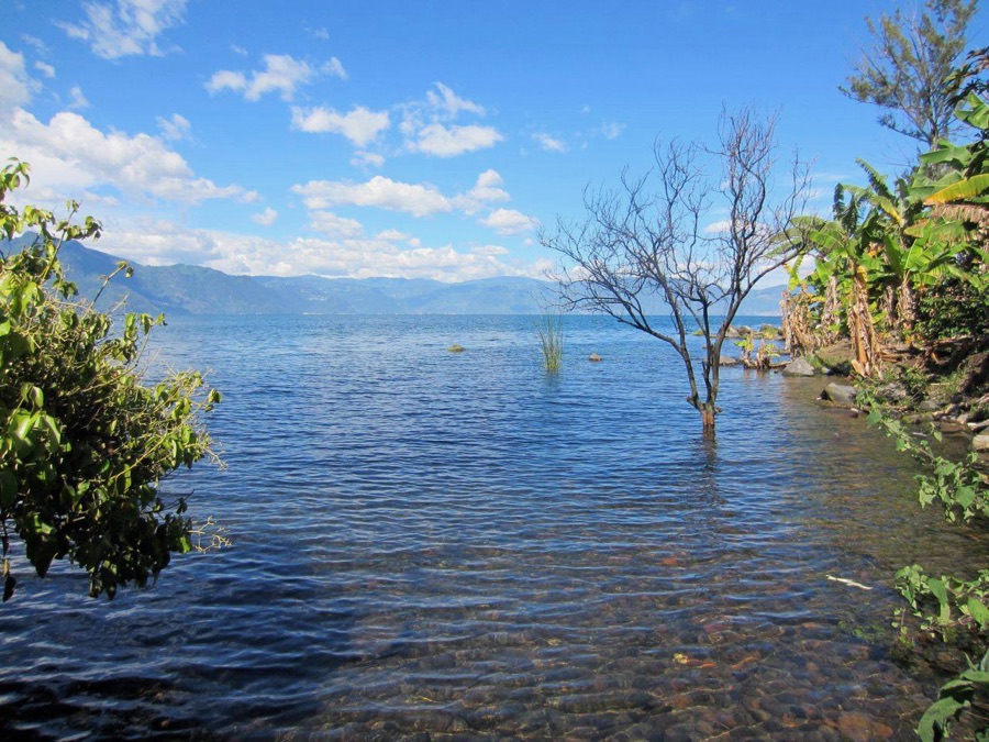
Lake Atitlán fills a huge volcanic crater, called a caldera, in the highlands of Sololá department, at about 1,562 meters (5,125 feet) above sea level.1 It formed when an enormous eruption, known as Los Chocoyos, emptied a magma chamber and the ground collapsed. Estimates of the date differ by several thousand years; they cluster around 80,000 years ago.1,2
The lake covers about 130 square kilometers and is roughly 18 kilometers long and 10 kilometers wide.1,2 Its deepest point is estimated at about 340 meters, which makes it the deepest lake in Central America.1,2 It has no outlet to the sea.2
Three volcanoes rise from its shores: Atitlán (about 3,500 meters), Tolimán (about 3,200) and San Pedro (about 3,000).2 San Pedro and Tolimán sit inside the caldera. Atitlán’s most recent eruption was in 1853.1 In 1934 the English writer Aldous Huxley compared the lake to Italy’s Lake Como, with the addition of several immense volcanoes.1
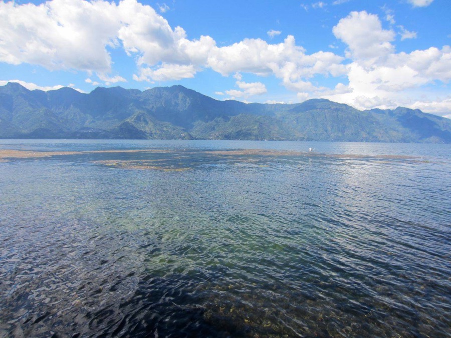
The people of the lake
Towns and villages ring the lake, among them Panajachel, Santiago Atitlán, San Lucas Tolimán, San Juan La Laguna, San Pedro La Laguna and Santa Catarina Palopó, and the village of Jaibalito, which can only be reached by boat.1 Most residents are Maya. Three Maya peoples live around the lake: the K’iche’ in the higher areas, the Kaqchikel in the north and east, and the Tz’utujil in the south.2 Traditional dress is still common, and Maya practices continue alongside the Catholic faith brought by the Spanish.1,2
The lake has long been part of Maya stories about the world. In the Annals of the Kaqchikels, a colonial-era Maya chronicle, the lake is linked to the waters of creation, and the Kaqchikel king becomes the creator god Gucumatz by leaping into it.3
San Pedro La Laguna
San Pedro sits on the lake’s southwest shore at the foot of the volcano that shares its name, at about 1,600 meters.4 Its people are mainly Tz’utujil Maya, who have lived here for centuries, and more than 90% of residents are Indigenous. Estimates of the population run from about 12,000 to 13,000.4 In Tz’utujil the town is called Tz’unun Ya’.4 People grow corn, beans, coffee and avocado; some women weave belts, shawls and skirts on back-strap looms; and the town has trained many of the area’s teachers.4 Visitors come for Spanish-language schools, for the lake, and to climb the volcano.4 The Museo Tz’unun ‘Ya in town documents local history, customs and the formation of the lake.4
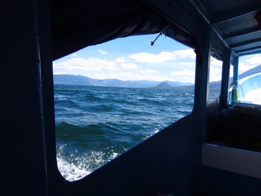
Boats connect San Pedro to Panajachel (about 45 minutes) and Santiago Atitlán (about 30 minutes).4 The town has a long record of acting on the lake’s behalf: it banned single-use plastic in 2016, and the town’s women lead regular shoreline cleanups. These are described on the page “Who’s Working on It.”
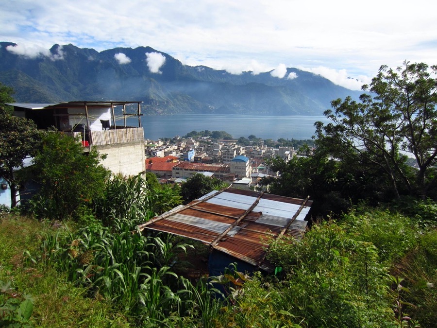
Wildlife and plants
The lake and its surrounding mountains are protected as a multiple-use reserve (Reserva de Usos Múltiples Cuenca del Lago de Atitlán, or RUMCLA), and the lake is listed in Category III (natural monument or feature) of the International Union for Conservation of Nature’s protected-area system.2 The Living Lakes network reports that the reserve holds about 800 plant species (61 of them found nowhere else), 116 reptile and amphibian species (12 found nowhere else), 236 bird species and 141 mammal species.2 In winter the lake hosts migratory waterbirds such as pied-billed grebes, ruddy ducks and American coots.2 More than 400 fishermen depend on the lake for their living.2
The Atitlán grebe
The lake had a bird found nowhere else: the Atitlán grebe, or poc, a flightless diving bird, 46 to 50 centimeters long, that lived only on this lake. Bass introduced to the lake in 1958 and 1960 reduced the fish and crabs it ate and preyed on its chicks, and the 1976 earthquake, which cracked the lake bed and lowered the water, cut its habitat. Conservation work in the 1960s helped for a time, but the last birds were seen in 1989 and the species was declared extinct.5 The grebe is a reminder that the lake’s life is particular to it, and that some changes cannot be undone.
Visiting, and exploring this section
If you are visiting, please check the lake authority’s current alert level before you swim (see “What You Can Do“), and consider hiring a local guide for the volcano, which supports local people.4
- The Lake’s Problems: what is known about the pollution and where it comes from.
- What Might Work: ideas being tried or proposed, and the evidence for each.
- Who’s Working on It: local and outside groups.
- What You Can Do: practical steps.
About this page
This page was compiled from public sources in October 2026, many of them general references, and it has not yet been reviewed by people in San Pedro. We would especially like to hear from people who know the lake’s history, stories, plants, fish, birds and traditions firsthand. If you can correct, add or share something, including photos or local names for places, plants and animals, please write to contact@sanpedrolalaguna.earth. We will read it and add or correct what we can confirm.
Sources
- “Lake Atitlán,” Wikipedia. An encyclopedia, so a secondary source; some statements are uncited, and dates of the caldera’s formation differ between sources. Link
- Living Lakes Network, “Lake Atitlán” (an international lake-conservation network; figures are its own, undated). Link
- “Weaving the Fabric of the Cosmos,” Mesoweb, summarizing the Annals of the Kaqchikels (translation by Recinos, 1953). A Maya studies resource; the page gives no author or date. Link
- “San Pedro La Laguna,” Wikipedia. Some statements are uncited; population figures differ between the text and the infobox. Link
- “Atitlán grebe,” Wikipedia, citing BirdLife International and the IUCN Red List. Link